A New Way to Develop SITES, Buildings & Places

Real Estate Development

+

Architecture/Design

+

Construction

=

ONE Team to serve your project.

"Your PROJECT Deserves More Than Just a Building"

Allow me to share a short history.

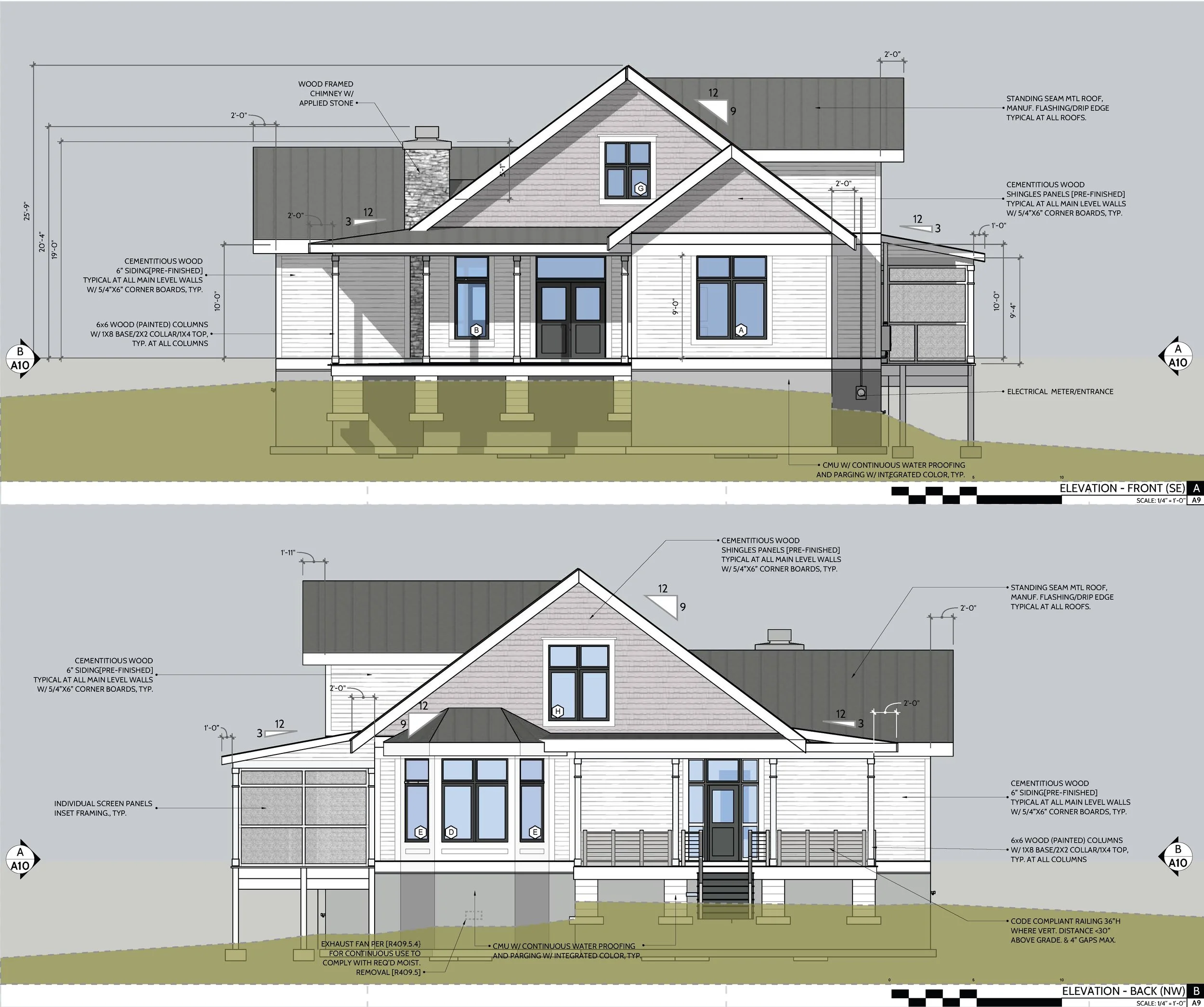
Before WWI, architects led development end-to-end—designer, builder, and trusted advisor. We’ve updated that model for today: a transparent, integrated, owner-first approach that helps you realize a property’s Highest and Best Use.

300-acre master plan, urban planning for mixed-use districts with dining, shopping, working, and event places on a coastal Site. Facet is involved in master planning and assisting the ownership group with total project development.
3D architectural floor plan of a building of innovative design for a church with curved story wall and no hallways, creating an efficient layout.
A sketch of a multi-story modern building complex with taller buildings and arched windows on the ground level, trees in the foreground, and a partly sketched surrounding area. Example of Facet's urban mixed-use planning skills

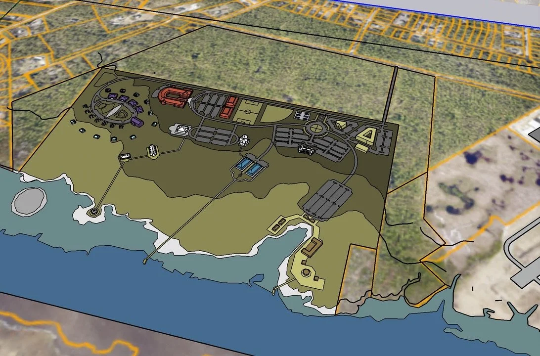
We assemble and lead the right team—licensed architect, qualified general contractor, and owner-side project managers—so you can focus on your mission while we manage the complexity.

A digital architectural rendering of a two-story house with a porch, stairs, and a covered patio area, featuring multiple windows and a peaked roof.
Architectural plan of a single-family home with detailed layout and exterior views of the house, featuring a garage, multiple rooms with wood flooring, a porch, and modern siding.
Architectural blueprint of a house showing front and back elevations with measurements, materials, and construction annotations.

Instead of the fragmented, adversarial model, we align everyone around your goals. The result: fewer conflicts, less waste, clearer decisions, and real accountability.

A desk with sketchbooks, handwritten notes, and a black pen. The sketchbooks contain sketches and notes about a village or town scene, including streets, trees, and buildings.
A detailed site plan drawing over a blurred aerial background showing building dimensions, parking layout, and zoning notes for Huntersville highway commercial zoning, including parking minimums, setbacks, and road alignments.
Blueprint sketch of a multi-story school or university building complex with playground and trees.

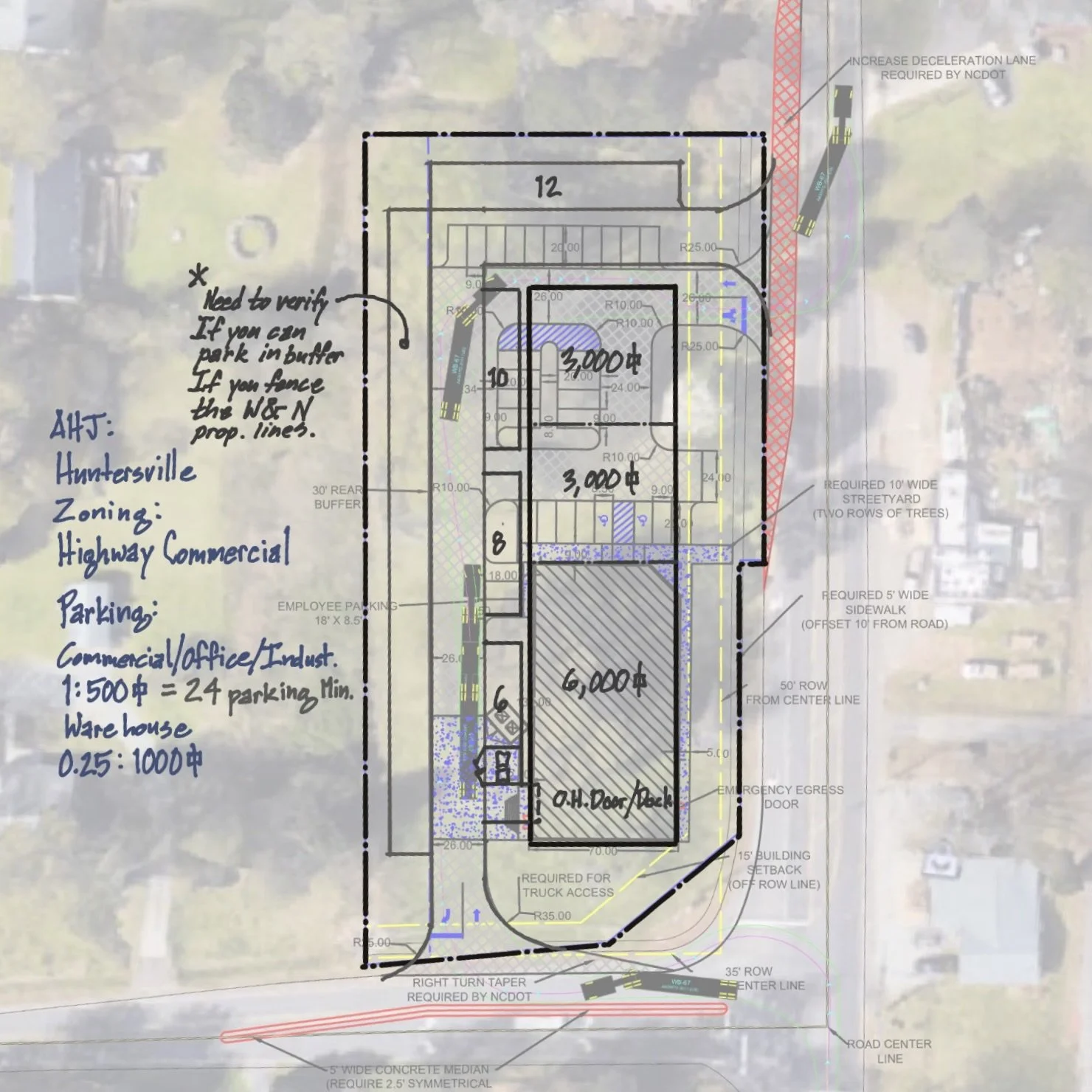
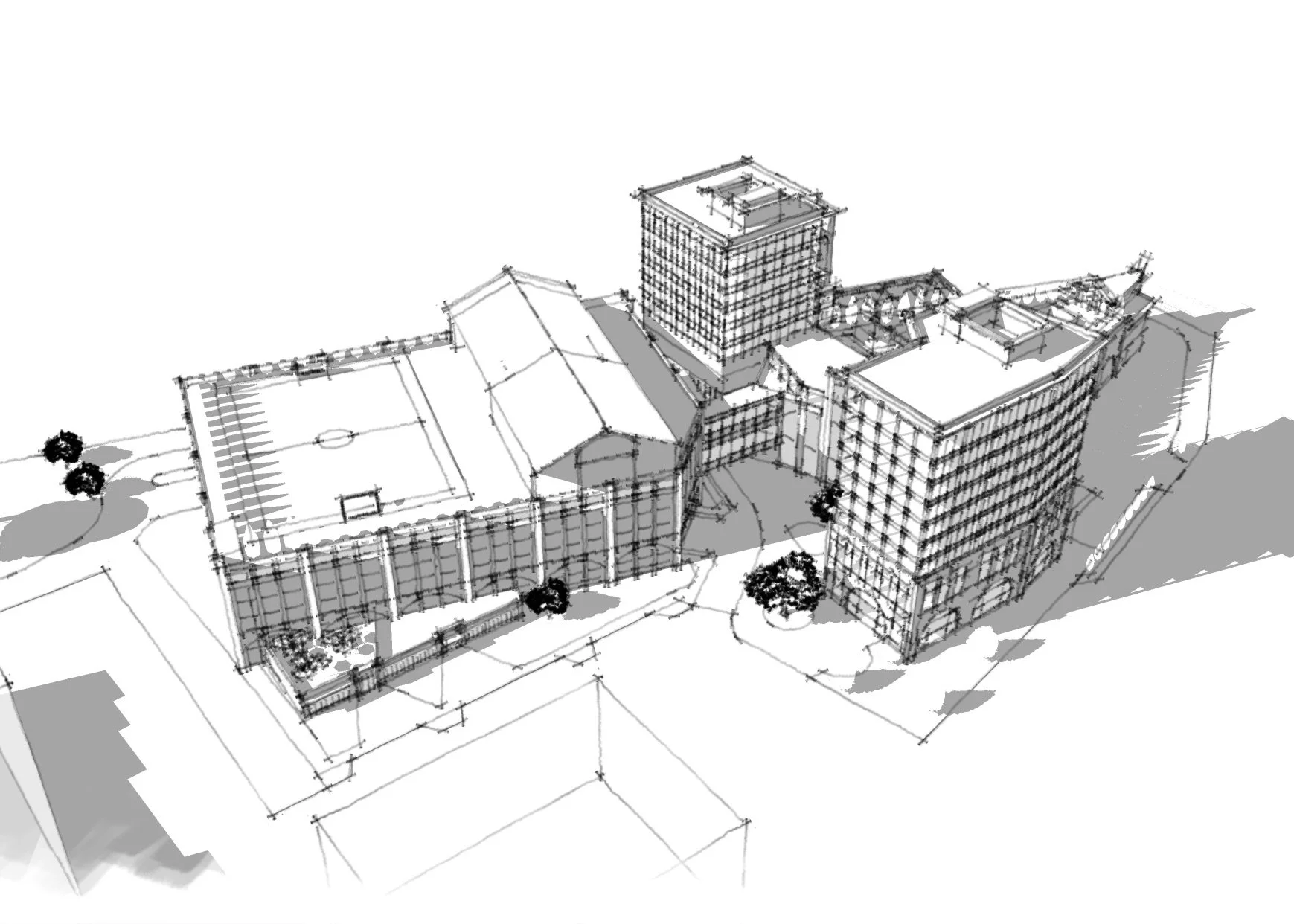
With 40+ years of experience, we know which decisions to handle for you—and which ones only you should make to protect long-term ROI. Our clients count on us to weigh risk against reward, make smart choices, and move forward with confidence.

A site plan with various buildings, parking lots, green spaces, and a small amphitheater, surrounded by trees and roads.

Book an appointment.

It all begins with a question or an idea you would like someone with experience to look over.

Whatever it is, we want to hear your story online to see if we can make a difference.

Sketchbook and notes about a village, city, and metropolis with sketches of a village street, city gate, and metropolis entrance.